LCT 2: Lowland Farmlands
The Lowland Farmlands LCT is defined by the extent of the open low-lying
’basin’ in the centre of the county. Its boundaries are marked by the change to
the more wooded landcover and undulating topography of the surrounding
wooded farmland and hills. The LCT is interrupted by the wide River
Floodplains (LCT 1) that cross the landscape and Wooded Sandstone Hills
(LCT 12) that rise steeply above the central plain.
The map below will help you to explore the location of this landscape character type within Herefordshire. For more information on the landscape description, evaluation, guidelines and key characteristics, click here to view Chapter 7 of the report.
You may find it easier to explore the map by using the option to open the map in a new tab, this can be found below the map.
Click on the eye icon next to the layers in the list on the left to turn them on and off. Click on the features within the map to see more information about them.
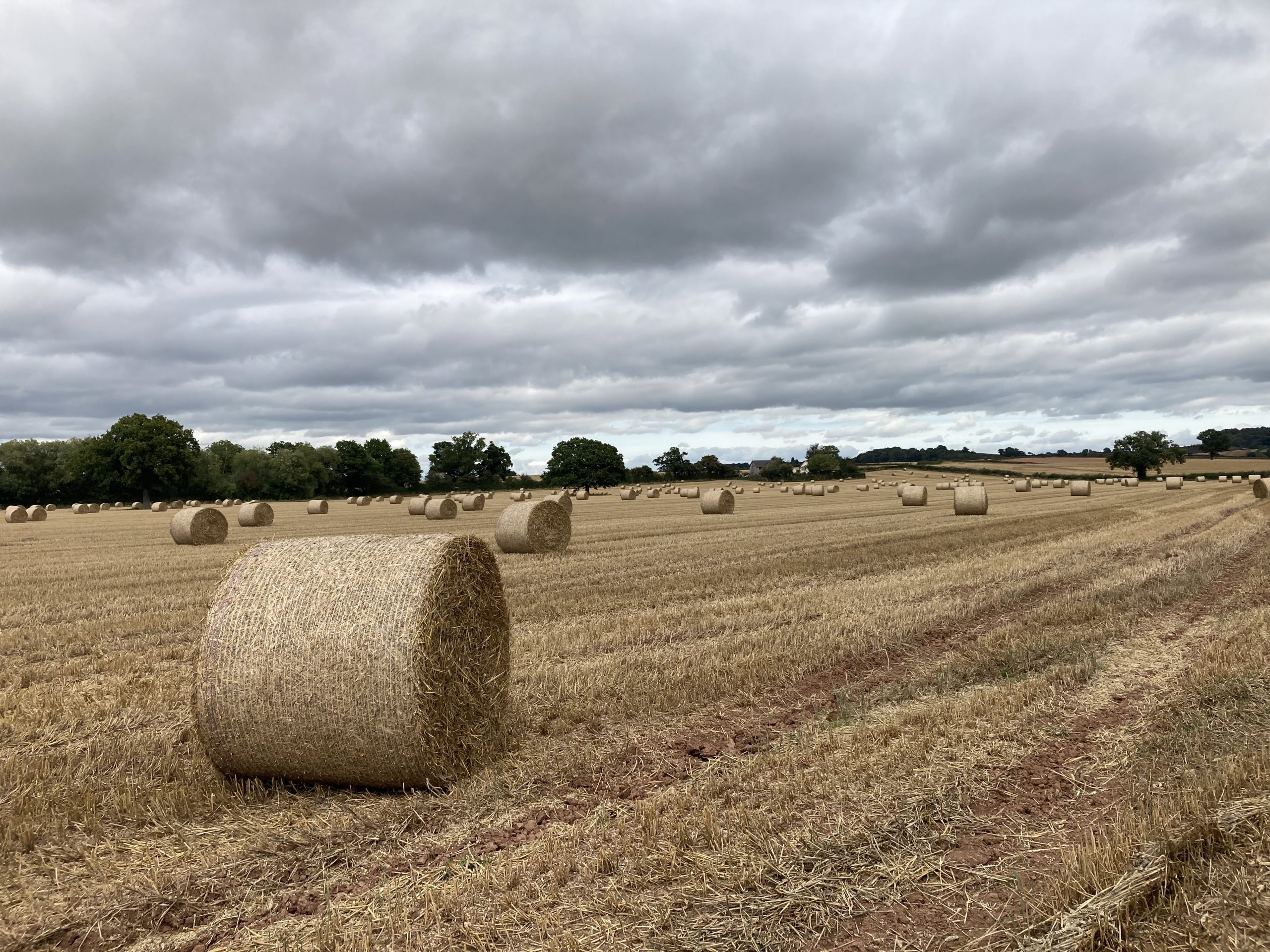
Open arable fields with wooded horizons
×![]()
Open arable fields with wooded horizons
View this map full screen in a new tab